Linha
Regional transit · concept
- Year
- 2026
- Sector
- Civic · mobility
- Services
- Strategy, Web, Mobile app, Engineering
- Platforms
- Web · App
- Stack
- Next.js 16 · Expo · MapLibre GL · Turborepo · Tailwind
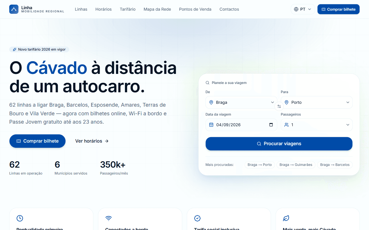
A real MapLibre network map across 6 municipalities, PT/EN/ES, web and mobile parity.
The brief
Regional transit sites tend to bury the one thing a rider needs, where the bus goes and when, under PDFs and announcements. We asked what a transit authority's digital service could feel like if the map came first.
Our approach
A restrained civic identity (clean white and a confident blue) built around a route-finder and a real interactive map. Big, honest numbers (lines, municipalities, passengers) instead of stock photography.
The build
A MapLibre GL map rendering real regional geography with coloured lines and municipality markers, a five-step purchase flow, and a shared TypeScript core powering both the Next.js site and the Expo app in three languages.
The result
A concept that shows what civic software can be when the citizen's task leads, submitted as a self-initiated proposal.
Self-initiated concept. Not affiliated with any transit authority.
The app
Also a native app.
Built with Expo and sharing one core with the website: the same data and the same brand, no drift between platforms.